The Holy Grail
May 23, 2023
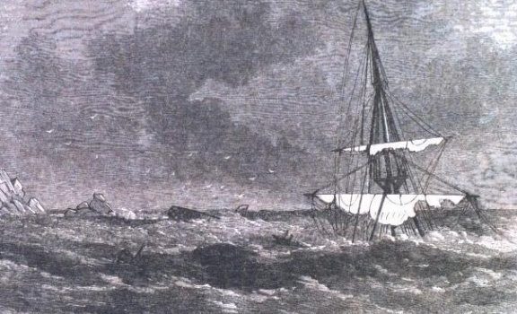
Cover Photo: Lost Ship – Photo Credit – The Joyce Hayward Collection
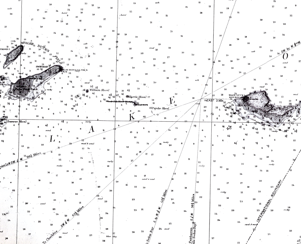
When the OLIVER MOWAT sunk her location was not lost. The masts on historic schooners were as tall as the ship is long, so when resting upright on the lake bottom in 35 meters of water there were still five meters of her top sails visible above the surface. This posed a hazard to navigation and her location was marked on maps of the era. Years later the masts were dropped to the bottom by dynamite charges, so with no hazard for ships the location was removed from future maps.

In the sixties and seventies shipwreck hunters in the region poured over old maps and newspaper reports for the possible locations of shipwrecks. With the location of the OLIVER MOWAT clearly marked, divers believed that this would be an easy wreck to find. They searched in the area and quickly found a wreck but were puzzled because something was not right.
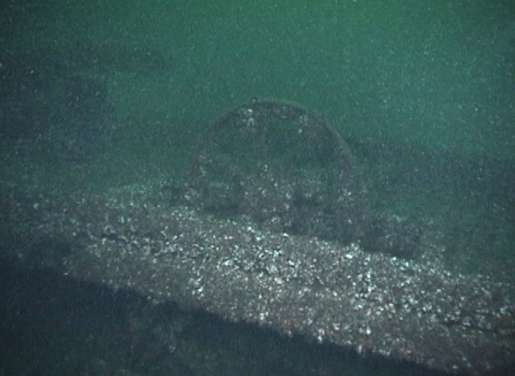
The OLIVER MOWAT had three masts and was 40 meters long, but the wreck that they found only had two masts and was just 28 meters in length. Research later ended up identifying her as the OLIVE BRANCH which had sunk in September of 1880, so the old maps had been mistakenly marked and the location of the Mowat remained a mystery. This created a lot of interest in finding her location and she became the Holy Grail of shipwreck hunters in the region.
Little did they know then that the quest would last more than 30 years!

